TRACKS:
No. 2 - Pizalegn

TRACKS:

 35km
35km
 3:30 h
 Medio
Medio
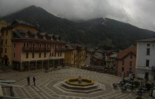
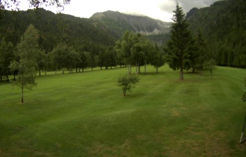
A ring road itinerary covering both sides of the upper Val di Sole. Most of the ride is through beautiful conifer woods the natural habitat of the woodpecker ('pizalegn') which nests here and finds its food in these ancient twisted trees
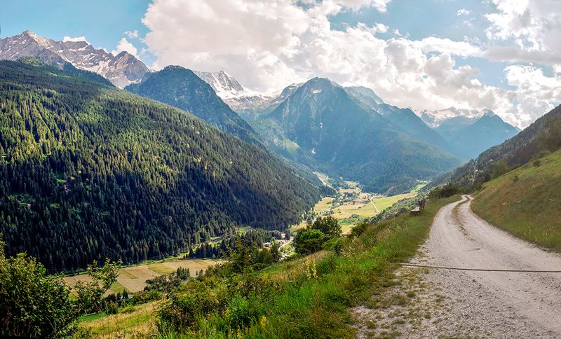


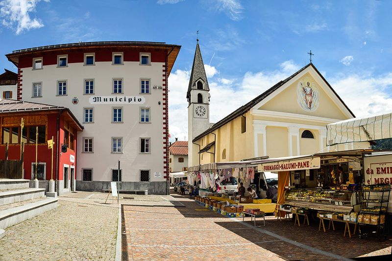
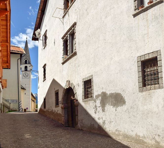

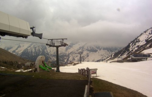
From Passo Tonale follow the dirt road to “Ospizio San Bartolomeo (La Mirandola). Once at the junction for Val di Strino leave the Volbiolo road and descend on the right alongside the vast scenic pastureland in Tonale. Close to Forte Mero enter the woods; after some ascents and descents you will arrive at the junction for Forte Zaccarano, go down on the right to the entrance to Val Strino, where the woods start to open up and where there is a view of the valley pay attention here to the junction: descend for approximately 200 mt until another fork in the road from where you can see a wooden bridge, which you must cross to reach the left hand side of the Rio Strino and from here take the old road to Tonale. This was the original ancient road, which connected the Val di Sole and the Val Camonica. After a long but not difficult descent, you arrive at Rio Finale, a dark and gloomy narrow place, where according to the Vermiglian legend, the bandit Paolo Pe often ransacked and robbed passers-by going to or returning from the Val Camonica.
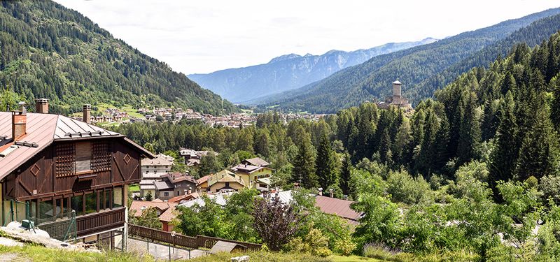
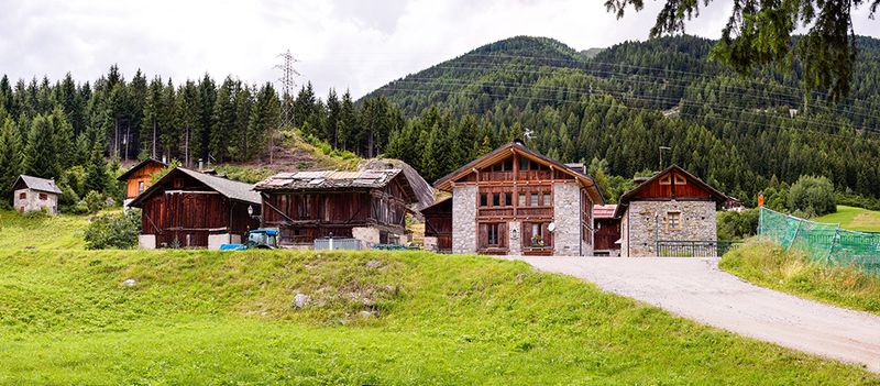
The crossing of the 200m long and exposed watershed should be taken with great care. On emerging, and if the bandits haven’t got their claws into you, you will be welcomed by a spectacular view of the northern part of the Presanella. Continuing the long descent, you will eventually cross a stone bridge over the Rio San Leonardo, and at the next junction, take a right turn to the village of Vermiglio and the “Dazi” castle (where the bishop collected taxes on goods in transit). Cross the village of Vermiglio until arriving at the small hamlet of Cortina. Pass the church and the inhabited part of the village and turning left there is another “imperial” road (Via del Sant) alongside a large abandoned zone which leads to the first houses in the village of Fucine and then Ossana. Continue on the dirt road with its gentle uphill and downhill bumps, and keep to the left of the Val di Sole to the small lakes in Vermiglio and subsequently the vast open land in Stavel. After having passed the bridge over the Presanella stream and a brief stretch of asphalted road, you take the dirt road Maso Cadin, passing directly next to the remains of the military barracks of the Great War. Continue through the beautiful landscape dominated by the Presanella glacier until reaching the oild military road, which leads to Rifugio Denza; from here, there is a short ascent until arriving to a sharp bend where you turn right towards the Baita Velon, and continuing through the woods just before the Vermigliana torrent. Once arriving in Viscle go right and cross the wooden bridge to the other side. After a few hundred metres slightly downhill, turn left and continue uphill across the fields of Malga Pecè, (during the Great War this was the seat of the Austrian-Hungarian command, and some of the old Conifer trees still show signs of the Italian grenades). Carry on towards Pass Tonale and at the junction of the Presena riverbed, turn left and carry on for 400 mt to the crossroads and you will pleasantly reach the end of the trail.