TRACKS:
N° 705 - Epic Trail Grande Guerra

TRACKS:
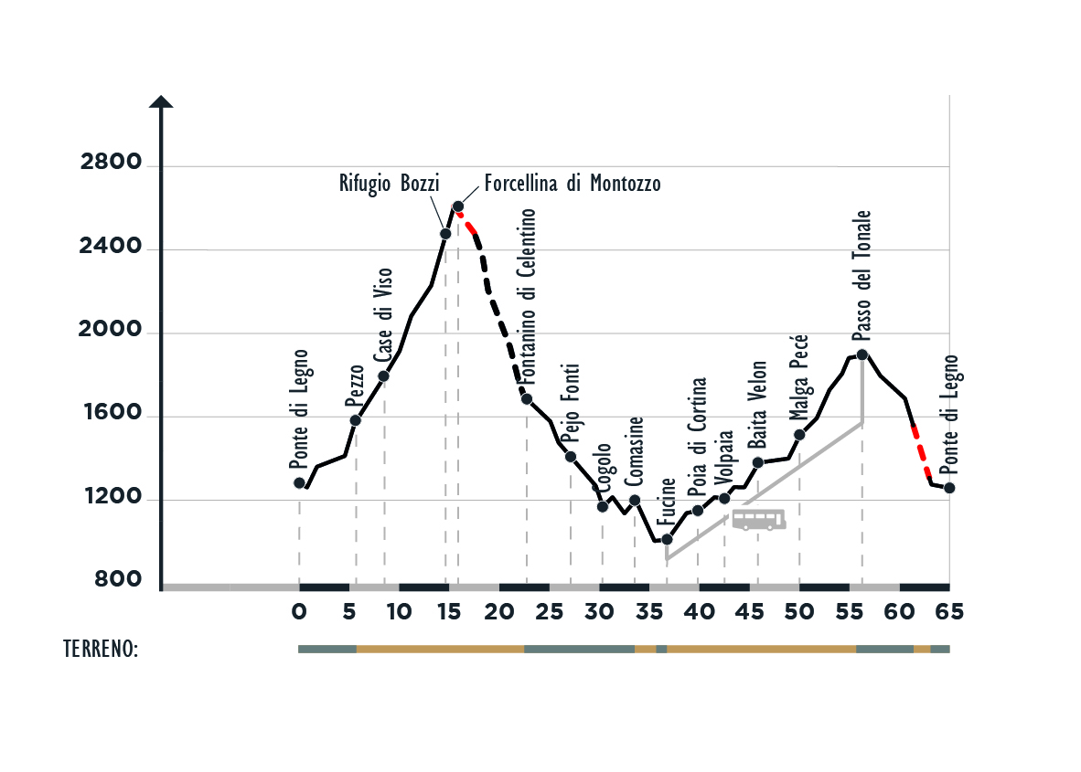
 65km
65km
 6:30 h
 Difficile
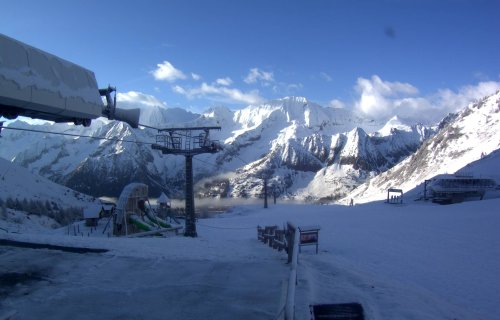
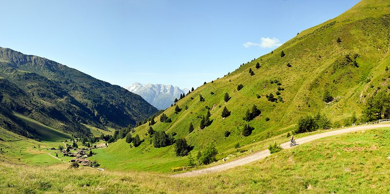
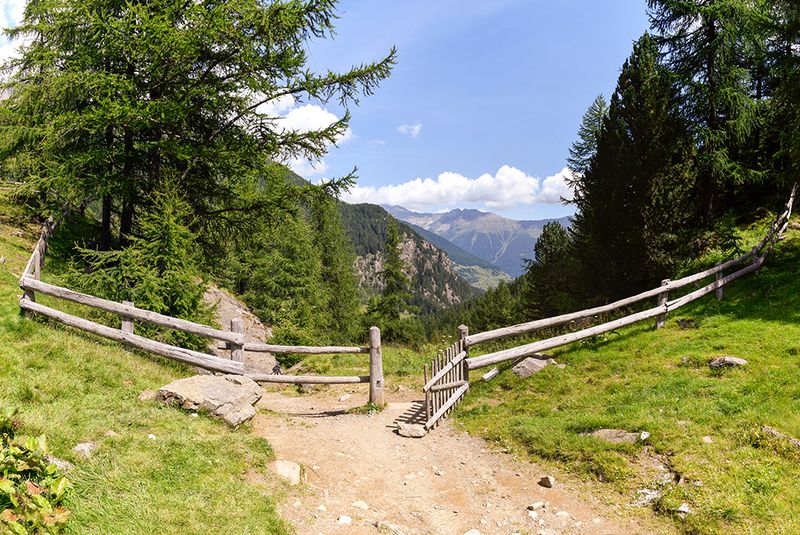
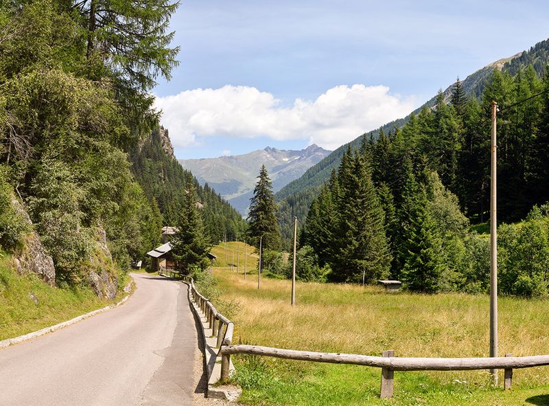
This is a beautiful, demanding and entirely technical route suitable for advanced bikers that stretches through the Stelvio National Park between then higher Valle Camonica and the higher Val di Sole among the many habitats of the middle and high mountain landscapes. The spectacular views on the glaciers of the Adamello - Presanella and San Matteo ranges, the wide clearings above the Val di Sole and the Val di Peio, the high mountain pastures (up to 2613 mt.), forests and alpine lakes, the ruins of the First World War and the typical rural mountain buildings are really stunning.


PLEASE be aware that this itinerary is tempoparily closed because of landslides (August 2020)
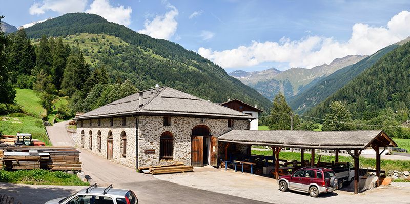
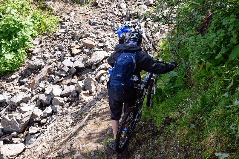
From Ponte di Legno ride through the Valle di Pezzo. By the same-name village continue to the wonderful alpine pasture of Case di Viso (1800 mt.). From here a demanding but beautiful military road leads to Bozzi alpine hut (2500 mt.) where you can have a deserved rest and visit the trenches and the little museum of the "Guerra Bianca" (First World War). Then 100 m. slope on a steep bumpy road (it’s really difficult to remain on your bike) up to the Forcellina del Montozzo (2613 m.), a spectacular panoramic viewpoint on the Adamello - Presanella and Ortles - Cevedale ranges. The wild landscape, the coloured iron rocks, the ruins of the trenches are the ideal scenery for a photo of this wonderful adventure.
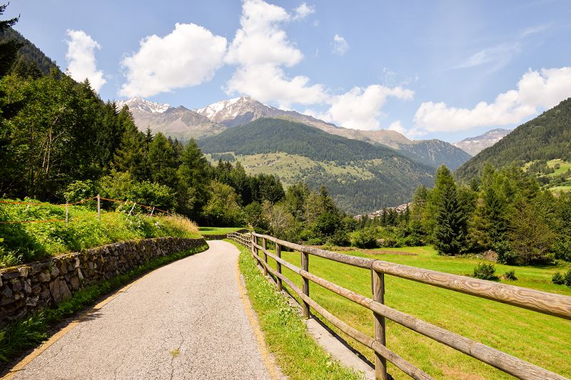
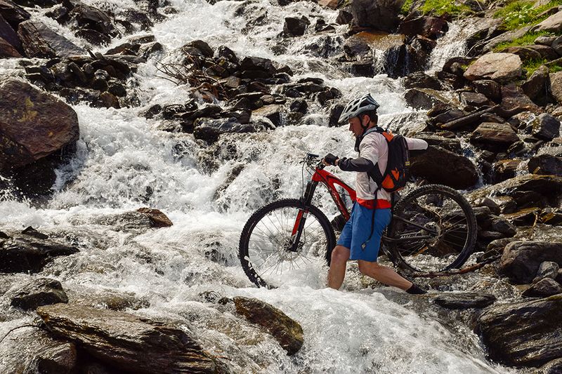
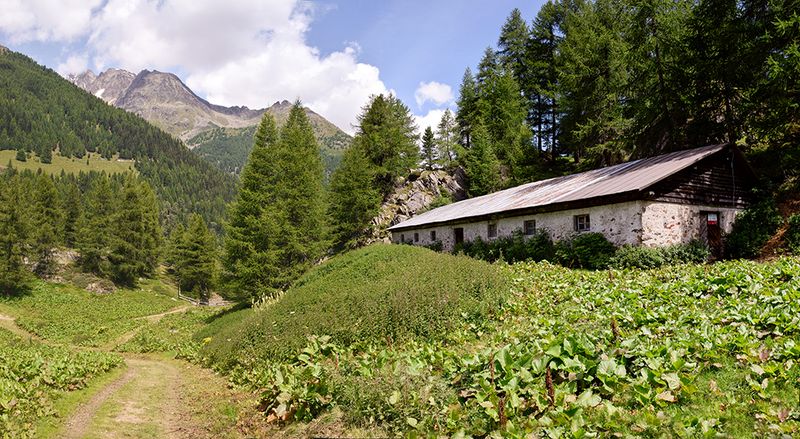
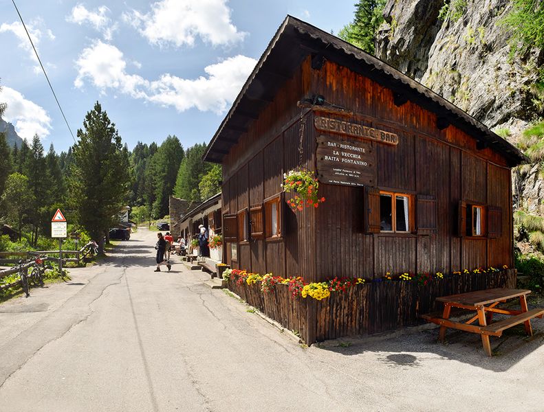
The descent to the Val di Peio is very technical and requires high technical abilities: steep overhanging gorges, a bumpy ground and a remarkable slope do not allow any distraction (pay also attention to the hikers climbing uphill the trail). After 3 km., by the only junction of the downhill above lake Palù, do keep to the right and continue up to the Celentino hut, nearby the dam. Proceed to Fontanino (1681 mt.), where you can drink ferrous water directly from its spring. Then go downhill on an asphalt road to Peio Fonti and then to Cogolo. 2 km. after the "Acqua Minerale Pejo" bottling factory cross the torrent Noce and continue on the cycling path. By the junction to Comasine, climb shortly up to the first houses of the hamlet and then take the nice dirt road to Fucine (982 mt.).
Go uphill the national road no. 42 for only 500 mt. up to the little bridge over the torrent Vermigliana. Cross it and get to the dirt road along the orographic right slope of the Val Vermiglio until your reach the beautiful little lakes of Vermiglio with pleasant ups and downs and the wide plains of Stavel and Velon. Riding on a nice military road, with regular and constant slope, pass through the Malga Pecè and reach the Tonale Pass (1890 mt.). Here begins the descent to Ponte di Legno on the national road no. 42. If you are not tired enough you can leave the asphalt soon after the halfway station of the Pontedilegno - Tonale cable car and reach the village on the amusing “Strada delle Volte”.