TRACKS:
No. 12 - Sghirlat

TRACKS:
 13km
13km
 1:40 h
 Facile
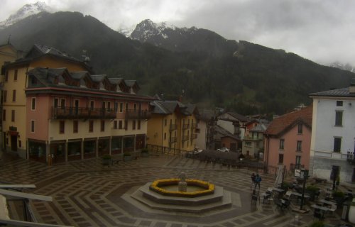
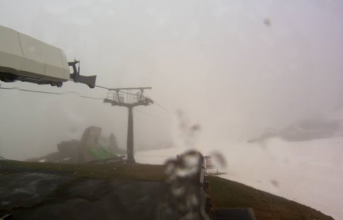
This easy ride is suitable for anyone, also for the less trained bikers. In few kilometres you will leave the build-up areas to admire the charming natural landscapes of these mountains.
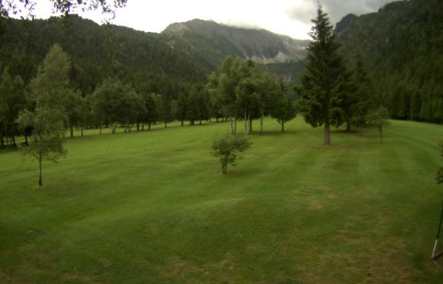
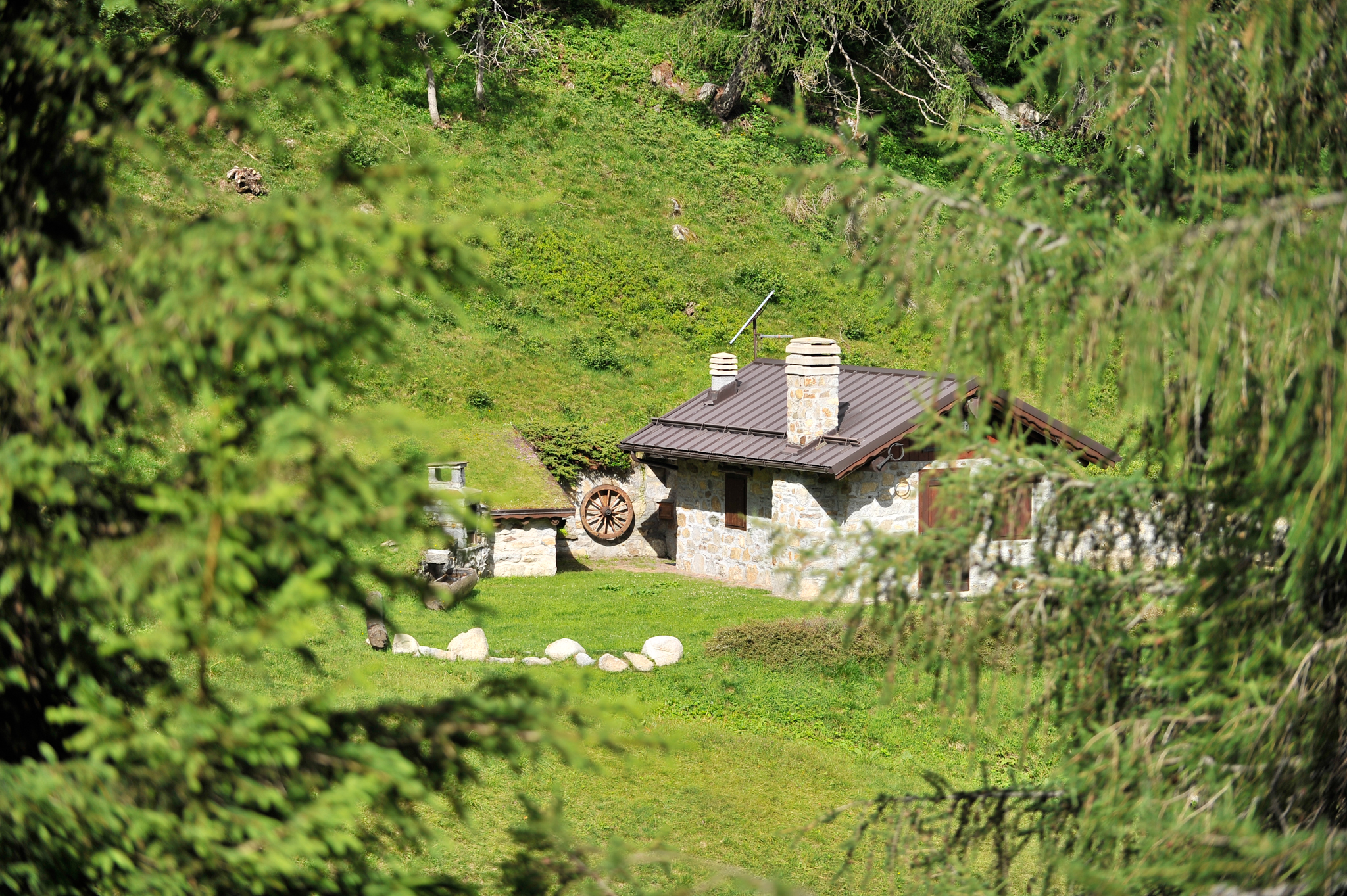
From Ponte di Legno follow the downhill cycling path that leads to the nice hamlet of Poia and then to Pontagna. Here go straight on without crossing the bridge that takes to the village. After 50 meters turn left and, after going past some new buildings, take the beautiful track through the meadows and reach the ruins of the Pontagna ski jump. Ride shortly through the wood and – after crossing the Temù ski run – turn left and get to a typical grass-mantled house. Continue to the left, go past the restaurant Traviolo and take the path near there that gets to the valley bottom of the Val d’Avio. Ride across the creek, then alongside it for almost 2 km. uphill the length of the pleasant keep-fit trail running deep into the valley. Then cross the creek again and proceed in the opposite direction for few hundred meters up to a junction and turn right. Ride gently uphill on the dirt road to the Val d’Avio street and follow it for about 1 Km. The asphalted ground makes this short climb really few demanding, but if you want to undergo no toil at all, then you can start descending: by the first houses, always keeping to the right, you will join with the main route in very little time and, by the junction, take the road to the lakes of Avio for some meters. Turn left nearby some buildings, were a nice descent starts through the typical houses and huts up to Prevalè. After crossing the ski run, continue climbing gently uphill on the forest track through the wood halfway along the mountain slope for 3 km. until you get to the road to Valbione that finally takes you back to the starting point.